Boundary Surveys
• Mount Saratoga - Saratoga Springs, Utah
• South Hills - Herriman, Utah
• Palmer Estates, Farmington, Utah
• South Hills - Herriman, Utah
• Palmer Estates, Farmington, Utah
ALTA/ACSM and Topographic Surveys
• Camp Gualala - Santa Rosa, California
• Treasure
Mountain - Sierraville, California
• South Mountain - Draper, Utah
• Mount Saratoga - Saratoga Springs, Utah
• South Hills - Herriman, Utah
• Cedar Fort - Cedar City, Utah
• Mount Saratoga - Saratoga Springs, Utah
• South Hills - Herriman, Utah
• Cedar Fort - Cedar City, Utah
Construction Surveying
• Ashley Furniture - Draper, Utah
• South Hills - Herriman, Utah
• Palmer Estates - Farmington., Utah
• Hurricane Arch Bridge, Hurricane, Utah
• LDS Church Missionary Training Center - Provo, Utah
• Palmer Estates - Farmington., Utah
• Hurricane Arch Bridge, Hurricane, Utah
• LDS Church Missionary Training Center - Provo, Utah
Municipal Boundary Mapping
• Powder Mountain, Utah
• Hideout, Utah
• Lehi UDC Annexation
• Bluffdale Disconnect /Annexation
• Wasatch County Project Area Definition
• Davis/Weber Counties, Four Cities Taxation Map
• Repartitioning of Entire Community - Colorado City/Hilldale, Utah
• Hideout, Utah
• Lehi UDC Annexation
• Bluffdale Disconnect /Annexation
• Wasatch County Project Area Definition
• Davis/Weber Counties, Four Cities Taxation Map
• Repartitioning of Entire Community - Colorado City/Hilldale, Utah
Surveying and LiDar 
Infinity Consultants works with both private and public sectors. Our professional land surveyors know and follow established state and county surveying and mapping laws. When construction staking, our surveyors use a quality control system that allows them to maintain an error free work product.
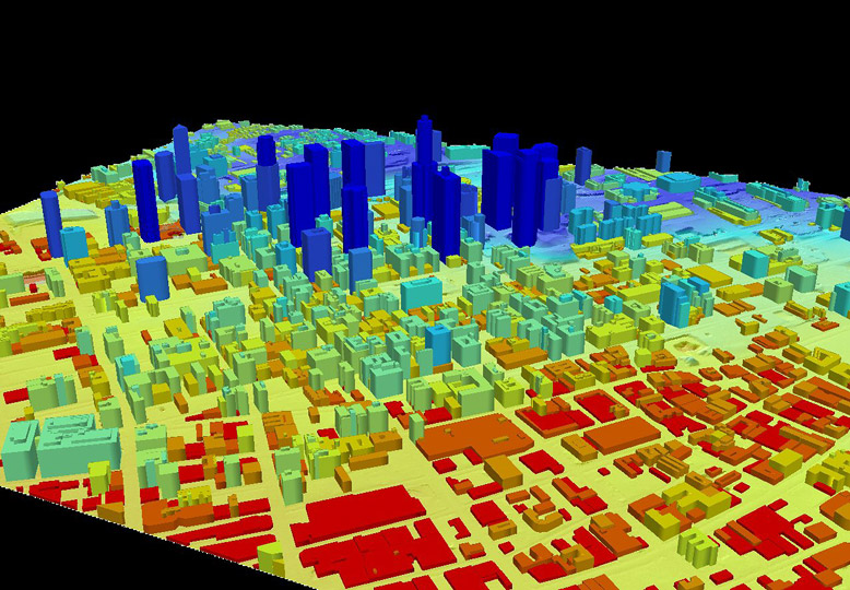
Infinity Consultants also uses the latest LiDar technology. LiDar technology maintains high accuracy and high resolution from rapidly moving platforms. LiDar collects 3-dimensional data using large fields of view laser scanners. It can be used in all types of weather and even at night.
Capabilities
Boundary Surveys ALTA/ACSM Land Title Topographical Surveying - Construction Surveying
Material Quantification High Precision Surveying Utility Mapping Aerial Mapping control Municipal GIS Structural Surveying Trimble Static and Real Time GPS
